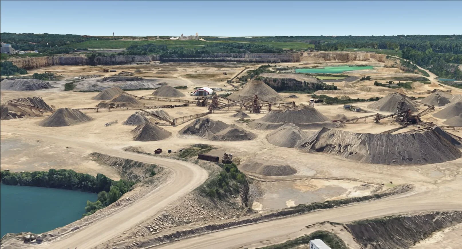
Kraemer Mining and Materials
As a geologist at Kraemer Mining and Materials, Inc. I am part of the three-person technical services team that oversees almost every aspect of our many operations across the country. Being part of such a small team means that I juggle many responsibilities and have a diverse workload that includes business development, consulting, exploration geology, quality control, logistical planning, environmental inspections, and permitting.
From conception to reclamation, I am heavily involved in business development for our company and our clients. We are often asked to locate new mine sites, a project that brings together a unique combination of technology and fieldwork. Using GIS and AutoCAD Civil3D I combine a variety of sources to identify potential sites across the country, then conduct exploration geology and determined the quality of the sites from the resultant samples through laboratory testing. Should we decide to pursue further involvement with the site, I file permits, create mining and reclamation plans, and eventually help oversee daily activities.
Our day-to-day operations require meticulous data collection and planning. I routinely use survey grade GPS equipment to plan, measure, and layout plans at one of our many active operations. Often, I use this data in conjunction with Civil 3D and ArcGIS to incorporate technology into quality control, mine planning, and permitting. Whether we are trying to optimize production for the upcoming year, interpret groundwater data, or incorporate a spatial component to ensure our product meets quality standards, we rely heavily on the data that I collect, organize, and manage. In addition to overseeing many of the daily functions required for Kraemer’s sites, I simultaneously provide the same services for clients located throughout the country.
I obtained my Small Unmanned Aircraft System Part 107 License, and am a certified sUAV pilot. The precision data I collect using drone technology has led to an overhaul of the way we measure stockpiles and calculate product inventories. In a fast-changing environment such as a mine site, the accurate and current DEMs I provide for both Kraemer and our clients are invaluable for logistical planning. The data I derive from drone flights allows me to accurately model bedrock surfaces, groundwater elevations, and calculate volumes of rock to be mined or overburden that must be removed.